Lower Wield: The Yew Tree Pub
A charming circular route from this quintessential English countryside pub
Walk Info
Distance from Alton (Miles)
7
Length of Walk (Miles)
4
Duration (Hours)
1.45
Total Ascent (Feet)
180
Grade
Easy – There are no stiles on the route. Unless a turning is indicated in the instructions below, proceed straight ahead! This clockwise route is fairly straightforward to follow, however watch out for a slightly tricky bit of navigation in Step 5. There is also an option to shorten the route at this point.

© Crown Copyright 2025, OS AC0000849864. Terms & Conditions
Start/Finish: This circular walk that starts and finishes at The Yew Tree Pub in Lower Wield is ideal for leisurely pub walkers or family outings with older children. It is well worth visiting this quintessential English pub with whitewashed walls, low beams, and a warm welcome. Thought to date back over 650 years, it began life as a cottage selling ale beside ancient yew trees, and today it continues that tradition with pride. Known for its locally sourced, seasonal food, the menu reflects both rustic comfort and culinary flair. Come in to enjoy a real ale by the fire or a leisurely lunch in the garden.
The Yew Tree Pub, Lower Wield, SO24 9RX theyewtreelowerwield.co.uk
Grid: SU 63608 39756; https://w3w.co/dwell.lipstick.airbrush
The pub car park is for customers only, so please plan to enjoy some refreshments before or after your walk.
Terrain: Gentle undulating paths across a patchwork of fields, with some bridleways and quiet country lanes.
1
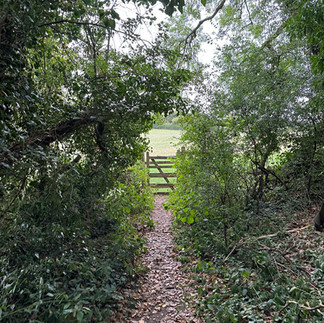
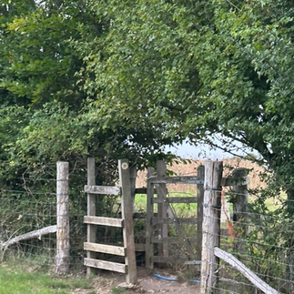
The walk begins between a small layby (with space for 2–3 cars) and the parking area of The Yew Tree pub in Lower Wield. Look for an unmade footpath on the right, near the ‘30 Lower Wield’ speed sign. Follow the path through a wooden gate and continue across a gently sloping grass meadow. The next kissing gate lies ahead, slightly to the left.


2
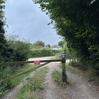
Continue along the footpath until you reach Windmill Lane. Look for a footpath on the right, clearly marked by a blue waymarker. This tree-sheltered path leads you into open countryside. Step across the road into the field and follow the footpath straight ahead, crossing a series of agricultural fields. The route remains direct ahead of you - ignore any paths branching off to the left or right. Occasional yellow arrows help confirm your way as you walk through this gently undulating farmland.


3
When the footpath emerges onto a gravel track, bear right to join the Oxdrove Way. This section is also known locally as Bullfield Lane. This broad, gravel track is part of Hampshire’s historic drovers’ network.


4
As you approach Ashley Farm, merge on the paved lane and stay on the Oxdrove Way. Do not pass through any of the metal farm gates within the farmyard — the route is skirting the farm buildings and continuing ahead along the broad gravel track.


5
You’ll arrive at a point where five paths converge in close proximity. At the first junction, take the right-hand turn, indicated by a red arrow. Continue straight ahead across a farm track, keeping to the main path. At the next junction, bear left, following the yellow arrow to stay on the full loop. (For a shorter option, at the second junction, follow the blue arrow instead. This alternate route leads directly to the road - turn left when you reach it, then take the next right to return to your starting point near the Yew Tree pub).


6
You’re now heading toward Upper Wield. The path continues along a gravelled track, flanked by hedgerows and open fields. When you reach the road, cross straight over and continue straight ahead, following the road sign pointing towards Upper Wield. The route leads on the road into the village, where you’ll pass a scattering of cottages before arriving at a small playground.


7
Follow the fence around the edge of the playground, passing beneath the canopy of mature chestnut trees. There, you’ll find a footpath that leads you back toward Lower Wield for your well-earned drink or bite to eat.
